SailNet Community banner
  • SailNet is a forum community dedicated to Sailing enthusiasts. Come join the discussion about sailing, modifications, classifieds, troubleshooting, repairs, reviews, maintenance, and more!

Over reliance on electronics

9.2K views 60 replies 25 participants last post by  Brent Swain  
#1 ·
#56 ·
A couple days ago, I decided to head offshore and try to find some dolphin just outside the reef, east of Sombrero Key Light. When conditions are right, the Sargasso weed stacks up in large patches this time of year, and when you find a good size patch of Sargasso weed you will usually find lots of Mahi-Mahi lurking beneath it.

The trip wasn't far from Boot Key Harbor, just 9 miles. The first leg involved passing through Sister's Creek, which is fairly deep until you get to the mouth of the creek, where the bottom quickly comes up to 5 feet. That means I have about a foot of clearance if I'm in the right slot through the channel, which is very narrow. That depth is displayed on my GPS/Plotter and an alarm goes off when I enter the 5-foot zone.

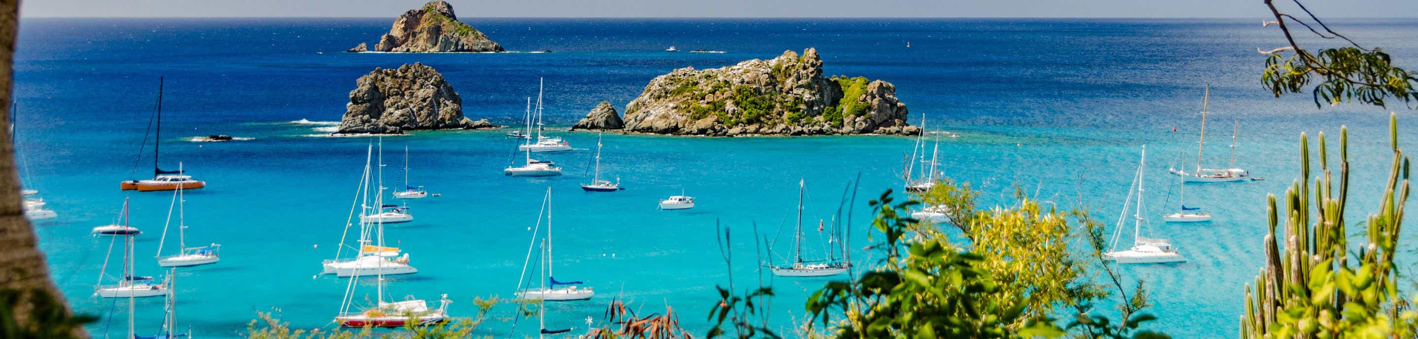
Once outside the creek in Hawk Channel I have two options - proceed down Hawk Channel, or head out through the reef. Heading down Hawk Channel would add a couple miles to the distance, so I opted to go through the reef. Now, I'm one of those individuals that loves to sail through the reef. I love watching the beautiful underwater world unfold beneath the boat, I enjoy seeing big grouper and barracuda fleeing as I approach, and the schools of reef dwellers can be fascinating.

The depths on the GPS plotter, and the locations of the very shallow shoal areas were extremely accurate. When the chart-plotter revealed a 21-foot deep passage through the reef to the Atlantic's azure blue waters, the depth plotter's depth finder and bottom contour information was dead on. It also revealed a 4-foot deep patch of coral that was about 50-feet south of where I passed through the reef, and that's exactly where it was.

I guess my point here is that yes, this information is on the paper chart as well, however, the only visual reference point was Sombrero Light, which was about a mile away. The GPS/Plotter provided pinpoint accuracy, thus allowing safe passage through the reef. The passage area is about 150 feet wide, no one else was on the boat to sling a weight to test the depth, the waves were about 4-feet, thus the captain was glued to the helm in order to maintain course control. In this, and many other instances I've encountered in more than 6-decades on the water, that GPS/Plotter is far superior to paper charts. And, with the 20-MPH winds, that 3X4-foot chart would have blown overboard as soon as it was opened.

I guess from my perspective, particularly as a single-handed sailor, the advancements in electronic navigation are essential tools - not just fancy gadgets or toys. Over the years I've found them extremely accurate and reliable. In my case, I've only had a single GPS failure, which occurred shortly after a near miss lightning strike in Chesapeake Bay, and a Loran-C problem, which was interference during a thunder storm. In both instances, I had no problem finding my way home.

Almost forgot - I didn't find the dolphin, probably because the wind had broken up the organized patches of Sargasso weeds.

Cheers,

Gary :cool:
 
#57 · (Edited)
...
The depths on the GPS plotter, and the locations of the very shallow shoal areas were extremely accurate. When the chart-plotter revealed a 21-foot deep passage through the reef to the Atlantic's azure blue waters, the depth plotter's depth finder and bottom contour information was dead on. It also revealed a 4-foot deep patch of coral that was about 50-feet south of where I passed through the reef, and that's exactly where it was.

...
Most of the time is accurate but you have to know that sometimes isn't and if you have a over confidence on that accuracy you can get in real trouble. It had happened to me several times, not to be in trouble, but the accuracy being very poor, not to say misleading.

That has nothing to do with the GPS accuracy but with the charts that served as support for the information on the map in your plotter. The earth is not flat and the chart makers used different projection systems to make them flat. A good plotter has on the menu a choice of about 20 different projection systems used to make maps, to permit an adjustment between GPS position and the position marked on the map.

Many just don't know about this, other used cheap plotters that only have the most common reference system and even the ones that have god marine plotters will find that sometimes the system used for making the map is not available on the plotter. Those at least will know that in that region they will get inevitable errors, some with hundreds meters differences. And I am not talking just about exotic places, that happens for instance in Croatia that is one of the most common sailing destinations.

Believe me, many don't know about this. The guys on the Croatian charter company did not know nothing about it or that the plotter they had in the boats had the wrong setting or even that their plotter had a menu with different settings for different map systems.;)

Regards

Paulo
 
#61 ·
While crossing the Pacific, I have always kept an eye on other indicators of my whereabouts, like the height of Polaris and other constellations , birds , wave patterns etc.
Once, leaving Ensenada for Todos Santos , the fog rolled in and blacked everything out. I had cleared out, so I headed out. That was back in the days of satnav, before GPS. When I got there, a few of the Newport to Ensenada race boats were anchored there, and one invited me aboard. They asked if I had got any satellite fixes and I said "No." They asked how I found the place in the fog. I simply told them that,as it was late afternoon, all the birds were flying home. Those headed to my right were heading for the mainland, those heading to my left were heading for the point on the south end of the bay.Those flying up the middle couldn't be heading for anywhere else but Todos Santos, so I followed them in.
No problem.

Oh, you've done this before" was their reply.